The Hunter Valley Gyro Club.

How to get there - mud map.
Home
More Pics
How to get there - mud map.
Information.

The Hunter Valley Gyro club's location. 
 
Bylong Valley Way via Murrumbo 2849 NSW
 
GPS 32.24'.19" S     150.12'.23"E  
Elevation 1020 feet. 
 
Comms...
Club - UHF CB ch25  (Someone may have a radio on)  
VHF  - 126.7  (Not usually monitorerd)
 
Note: Mobile Phone coverage is limited to Telstra Next G.
(New mobile tower installed 1km away)
 
The road  to Bylong and beyond has recently been tar sealed. 
It is about 40 minutes drive to Murrumbo from the start of the Bylong Valley Way.
(Turn Left  off the Golden Valley highway 800mtrs before  reaching Sandy Hollow.)

murrumbomap.gif
How to get to the Hunter Valley Gyro Club.

Looking East
100_0142.jpg
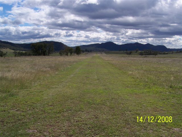
RWY 05 Approx 1000mtr long

Link to Virtual Earth Map click here.